Log in
All resources
Create a design
1,095,966 Free Images of Maps Of Aberystwyth
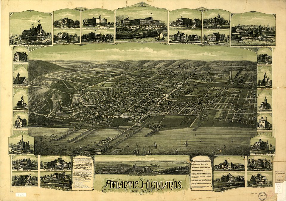
maps in the library of congress
18th-century maps of schleswig-holstein
maps by gustav adolf von varendorf
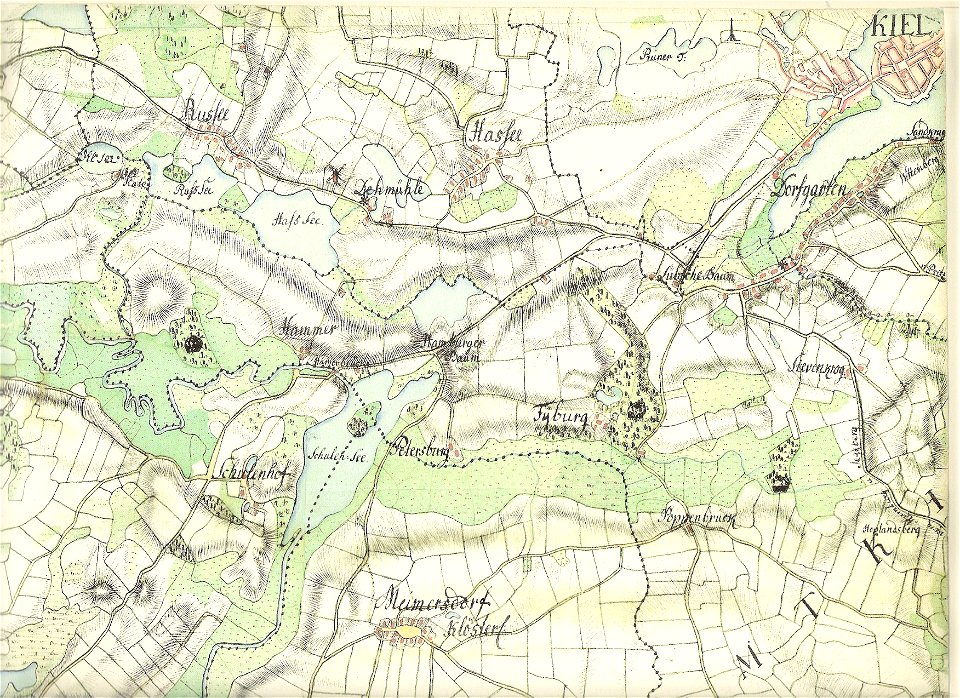
old maps of kiel
david rumsey historical map collection
albert ruger
o. h. bailey
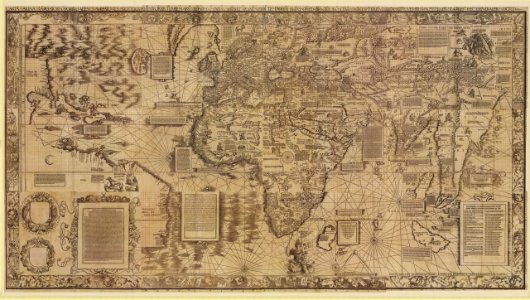
maps by sebastian münster
1760 maps
maps by george h. walker and company
maps by jacques-nicolas bellin
old maps of saint lucia
16th-century maps of the mediterranean sea
16th-century maps of the black sea
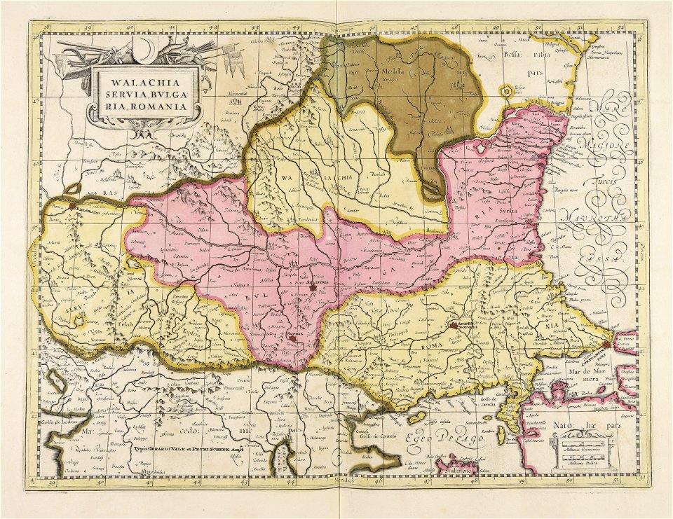
maps of romania
gerard valck
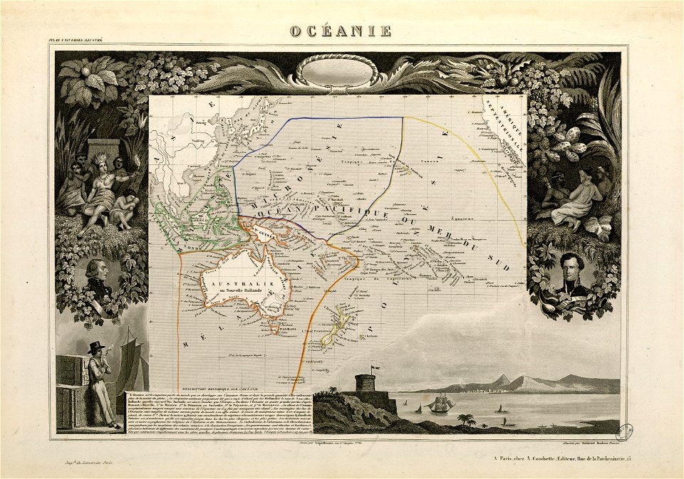
victor levasseur - maps of the world
frédéric-auguste laguillermie
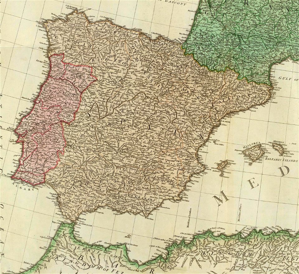
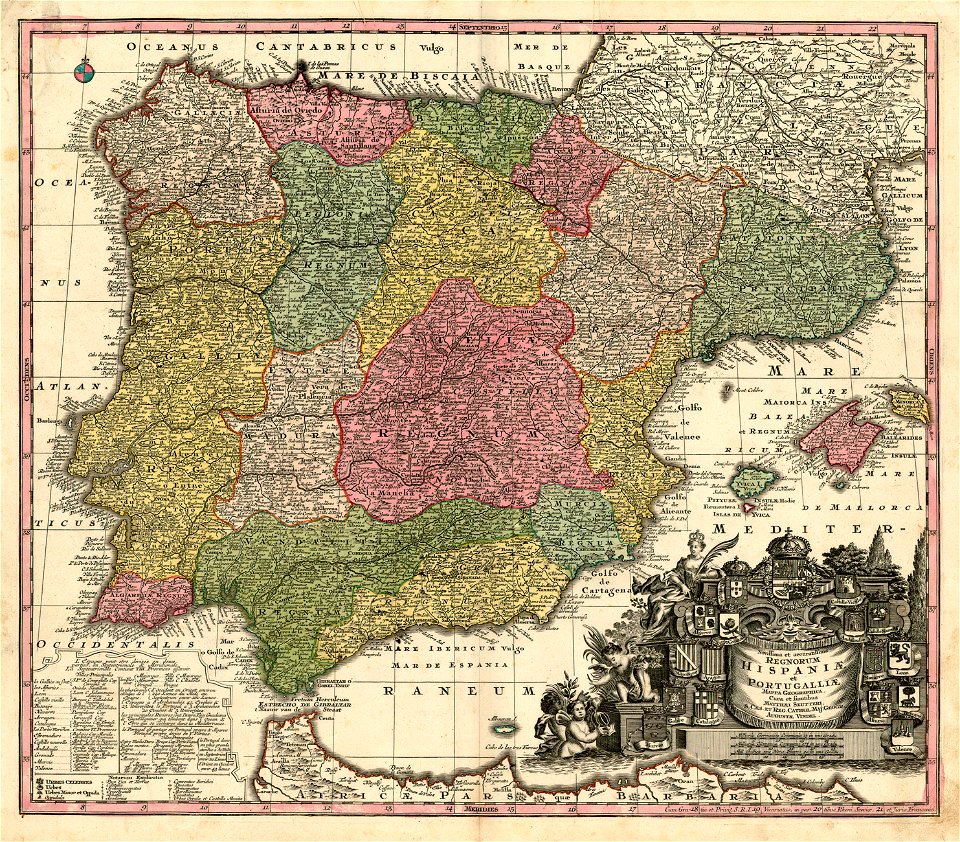
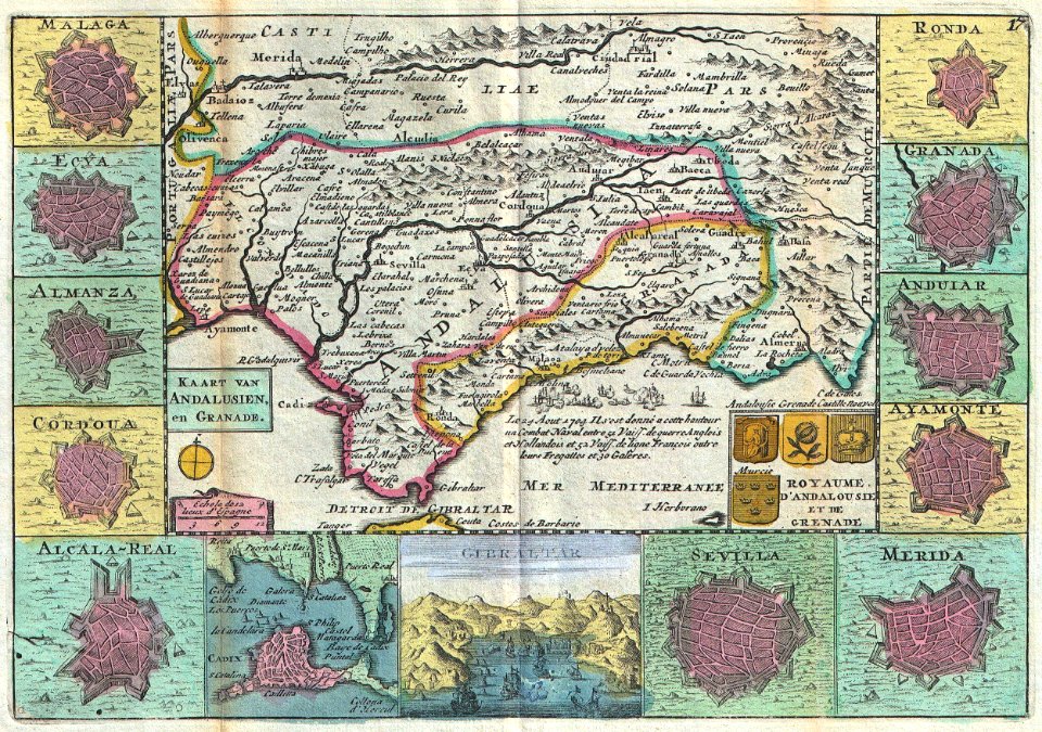
old maps of the iberian peninsula
1780s maps of spain
17th-century engravings
frans post
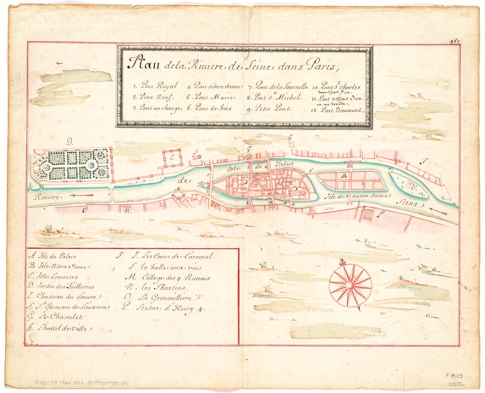
seine river in paris
1760 maps
seine river in paris
1760 maps
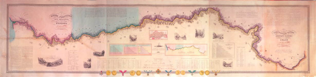
joseph james forrester
port wine
maps by george h. walker and company
maps in the library of congress
maps by george h. walker and company
maps in the library of congress
maps by george h. walker and company
maps in the library of congress
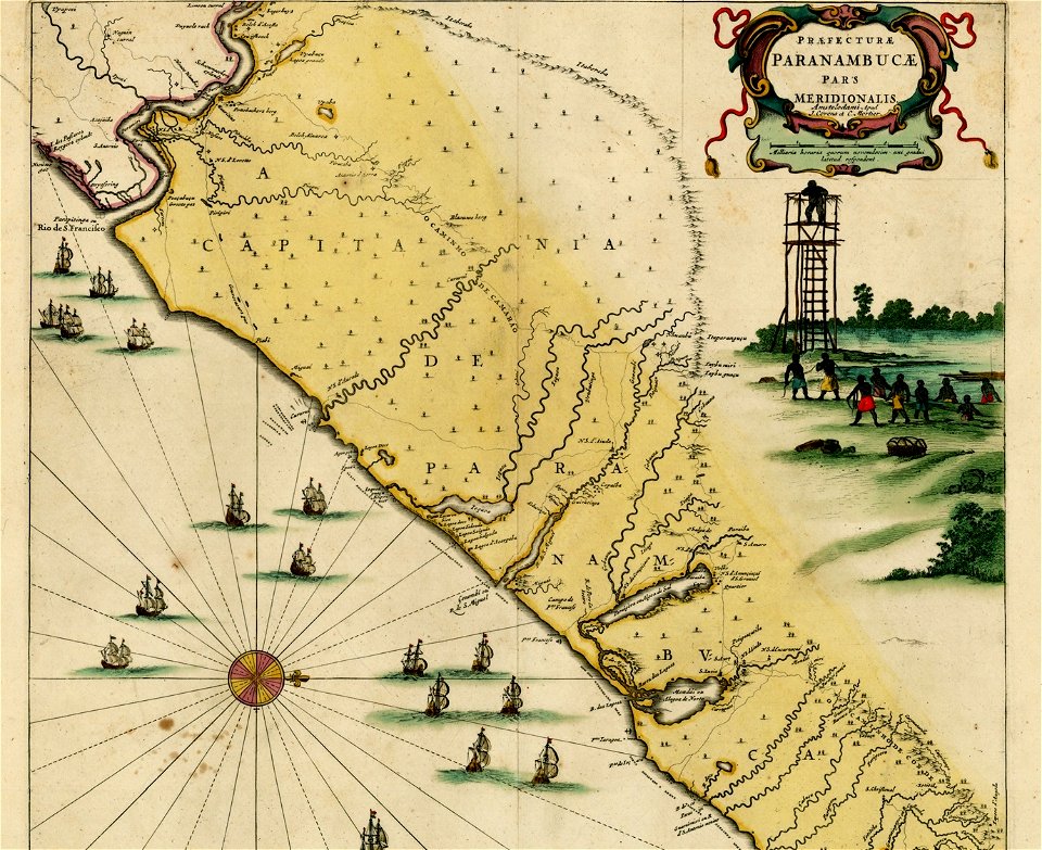
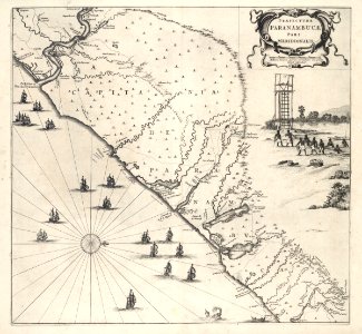
17th-century maps of brazil
old maps of pernambuco
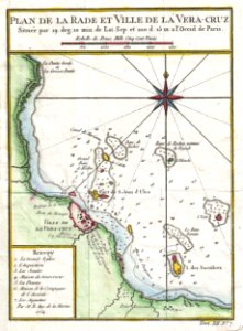
old maps of mexico
veracruz
maps with cartouches
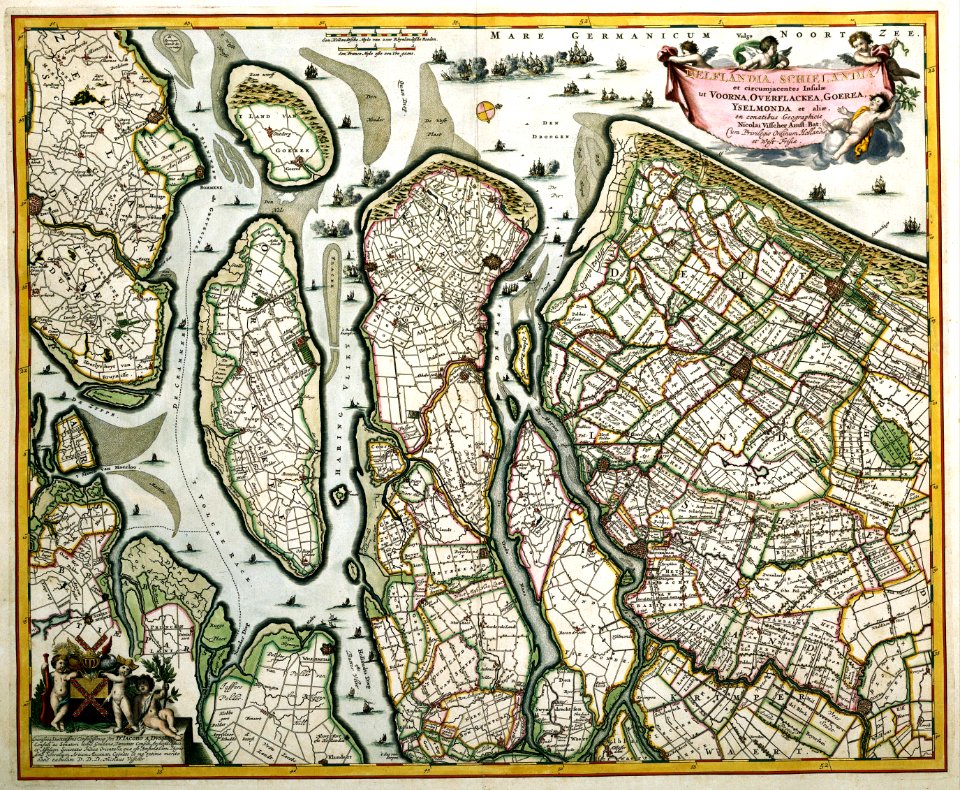
old maps of zeeland
maps by george h. walker and company
maps in the library of congress
david rumsey historical map collection
german-language maps
david rumsey historical map collection
german-language maps
david rumsey historical map collection
german-language maps
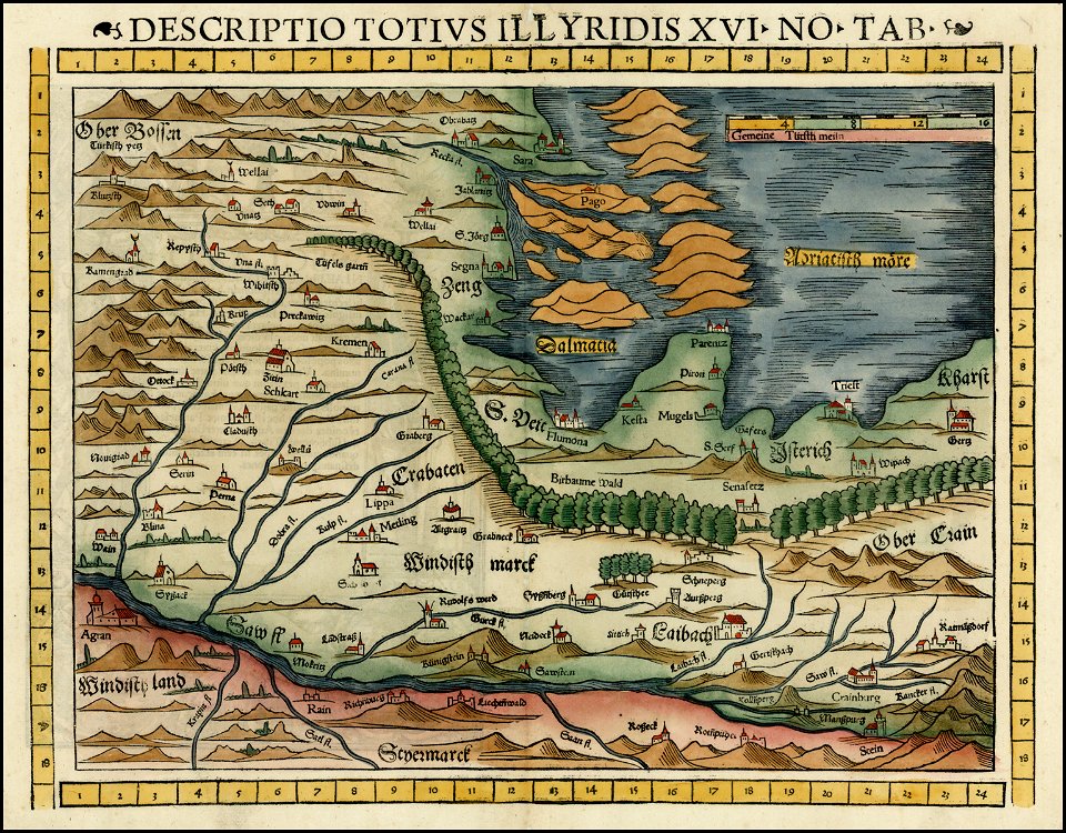
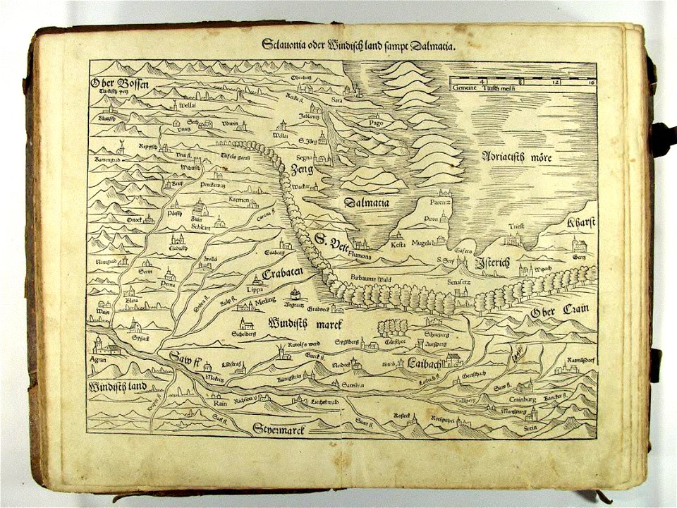
old maps of styria
slovene hills
coats of arms on maps
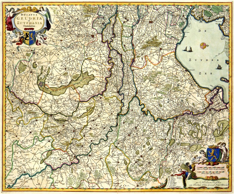
guelder
coats of arms of the crown of aragon
coats of arms on maps
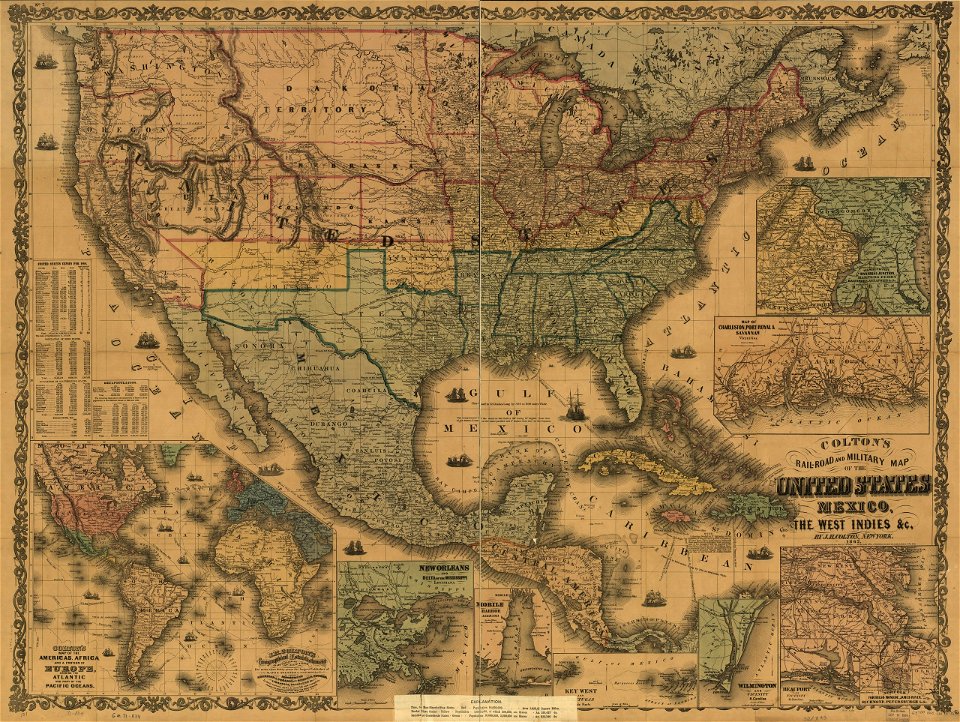
maps in the library of congress
old maps of mexico
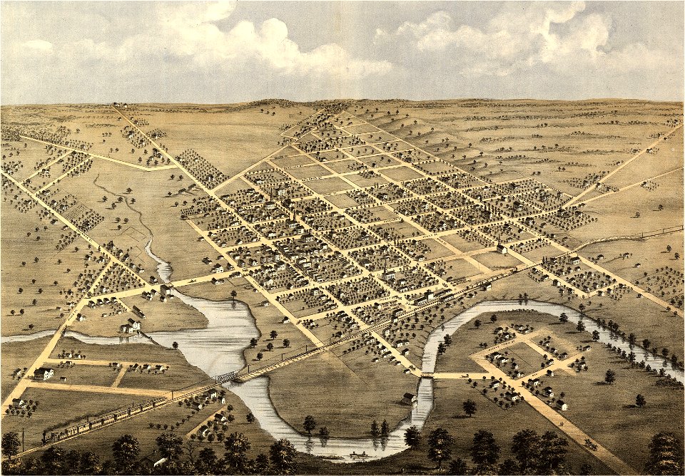
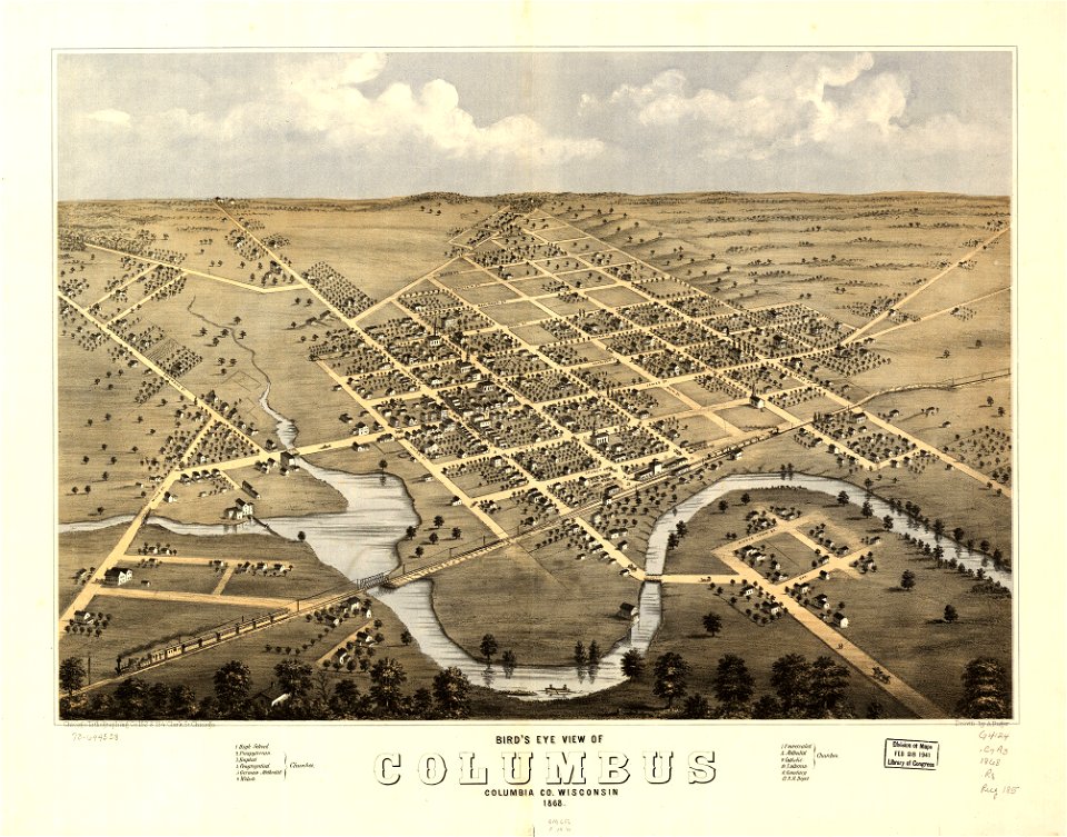
wisconsin
columbus
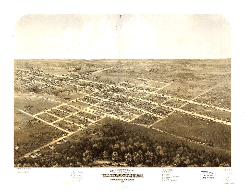
missouri
mexico
wisconsin
columbus
maps in the library of congress
1867 maps
maps in the library of congress
missouri
maps in the library of congress
missouri
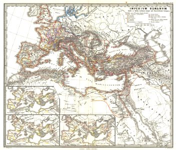
old maps of the roman empire
1865 maps
old maps of the roman empire
1865 maps
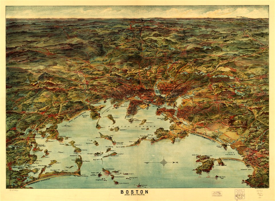
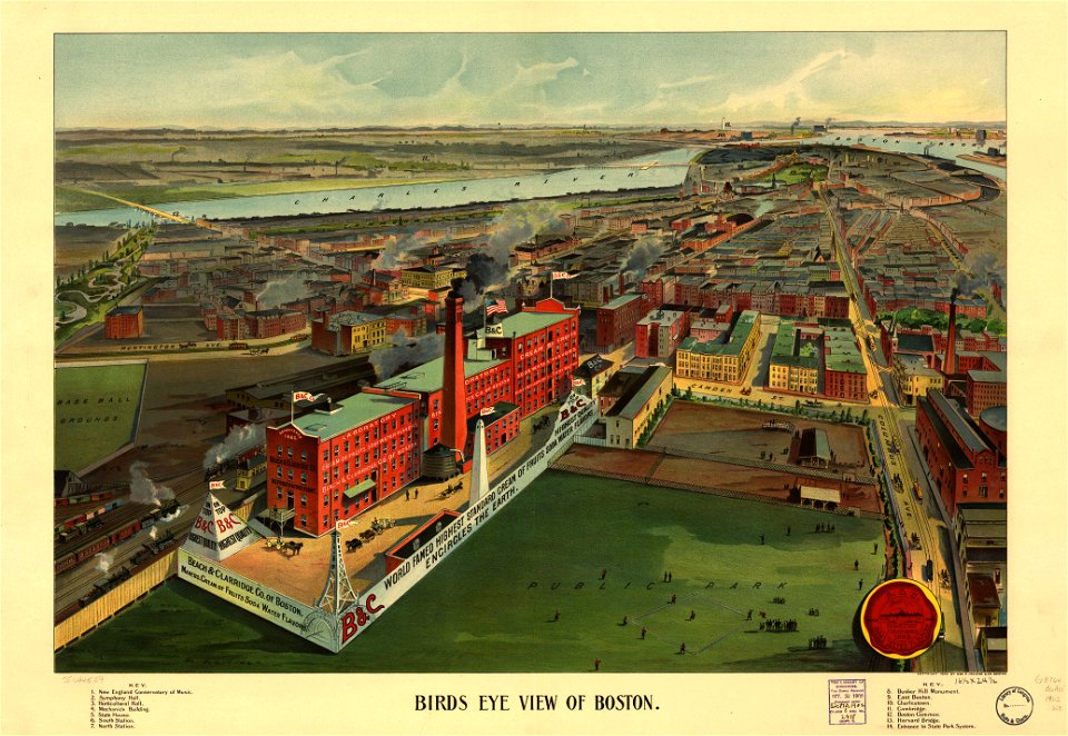
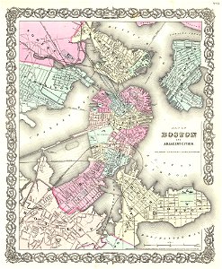
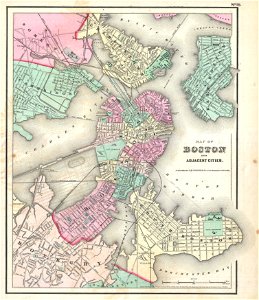
maps by joseph hutchins colton
1855 in boston
maps by joseph hutchins colton
1857 in boston
maps in the library of congress
o. h. bailey
maps in the library of congress
o. h. bailey
maps by jacques-nicolas bellin
jacques-nicolas bellin
old maps of the arctic
1747 maps
1814 maps
dublin
charts and maps of the royal museums greenwich
old maps of the aegean sea
charts and maps of the royal museums greenwich
old maps of the aegean sea
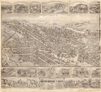
o. h. bailey
1894 maps
o. h. bailey
1894 maps
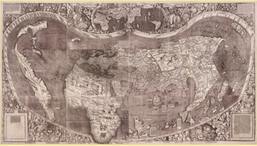
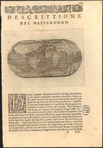
1500s maps of the world
waldseemüller map
maps by martin waldseemüller
1510s maps of the world
maps in the national library of australia
1572 maps
maps in the national library of australia
1572 maps
maps with cartouches
braun & hogenberg
johann baptist homann
latin-language maps
johannes ratelband
1747 maps
maps by joseph hutchins colton
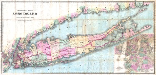
1880 maps of new york (state)
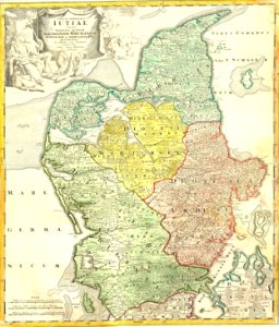
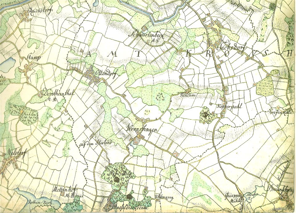
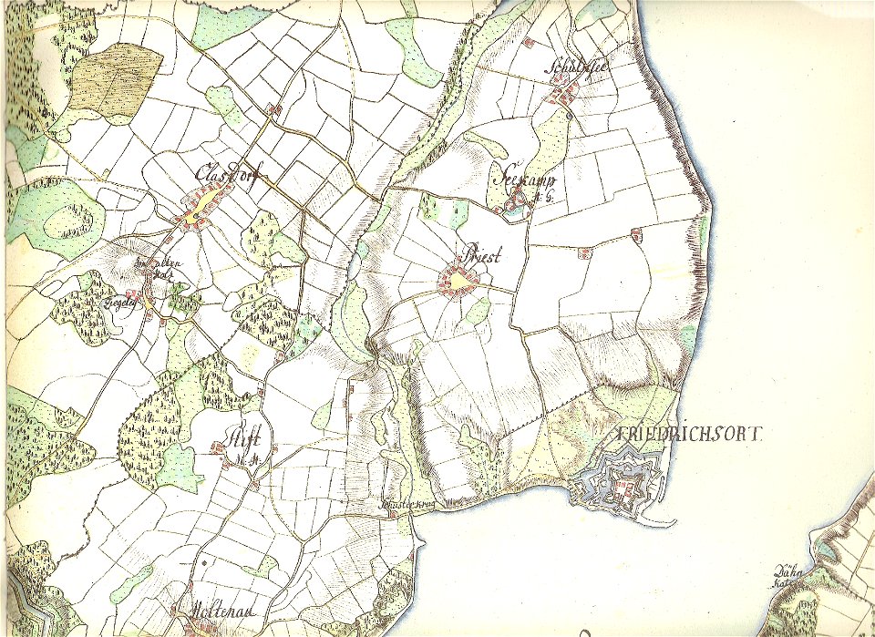
18th-century maps of schleswig-holstein
maps by gustav adolf von varendorf
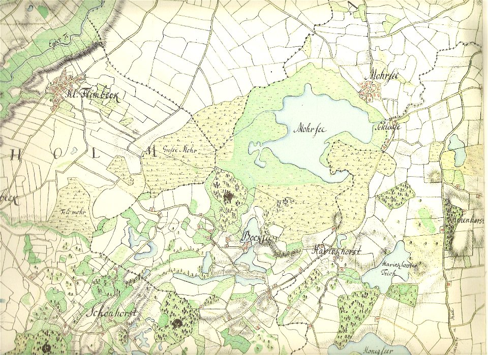
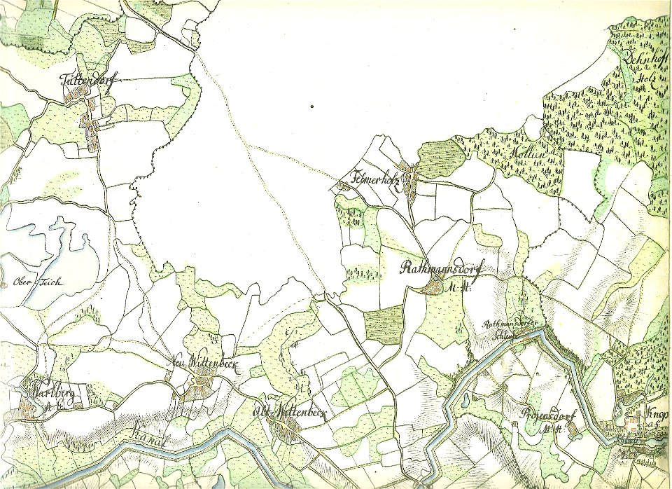
18th-century maps of schleswig-holstein
maps by gustav adolf von varendorf
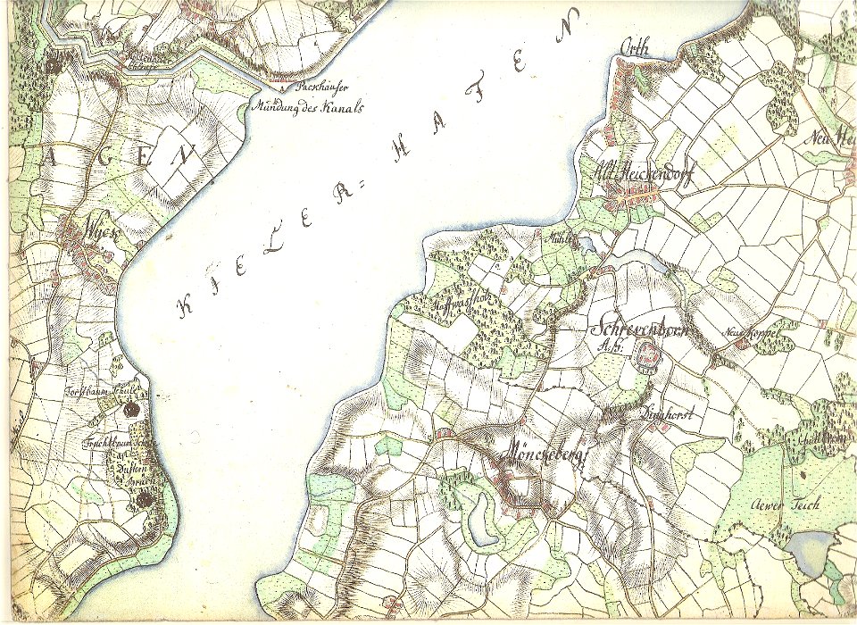
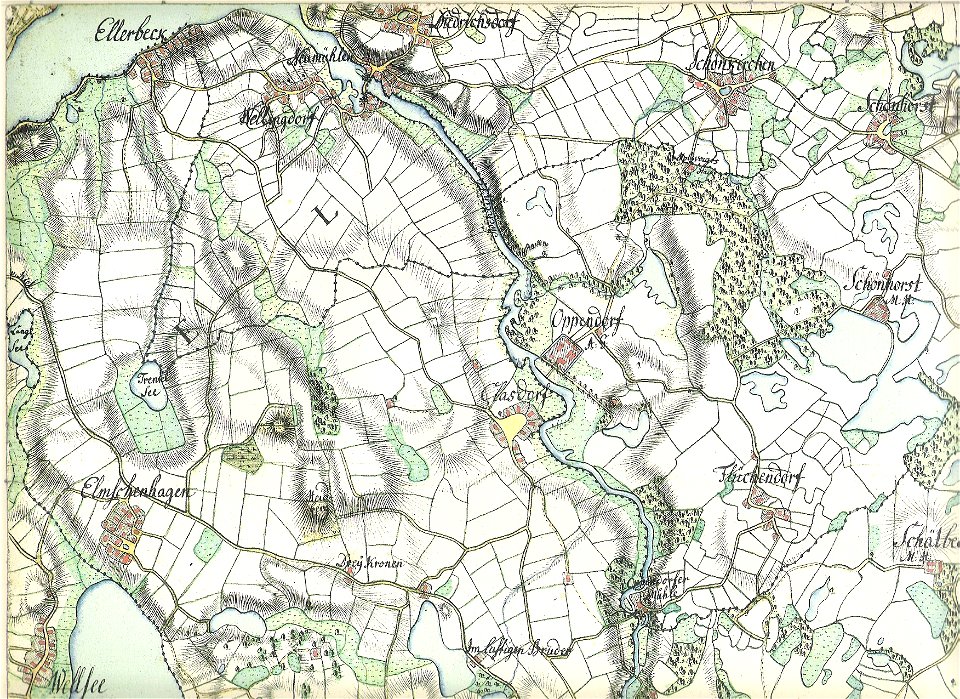
18th-century maps of schleswig-holstein
maps by gustav adolf von varendorf
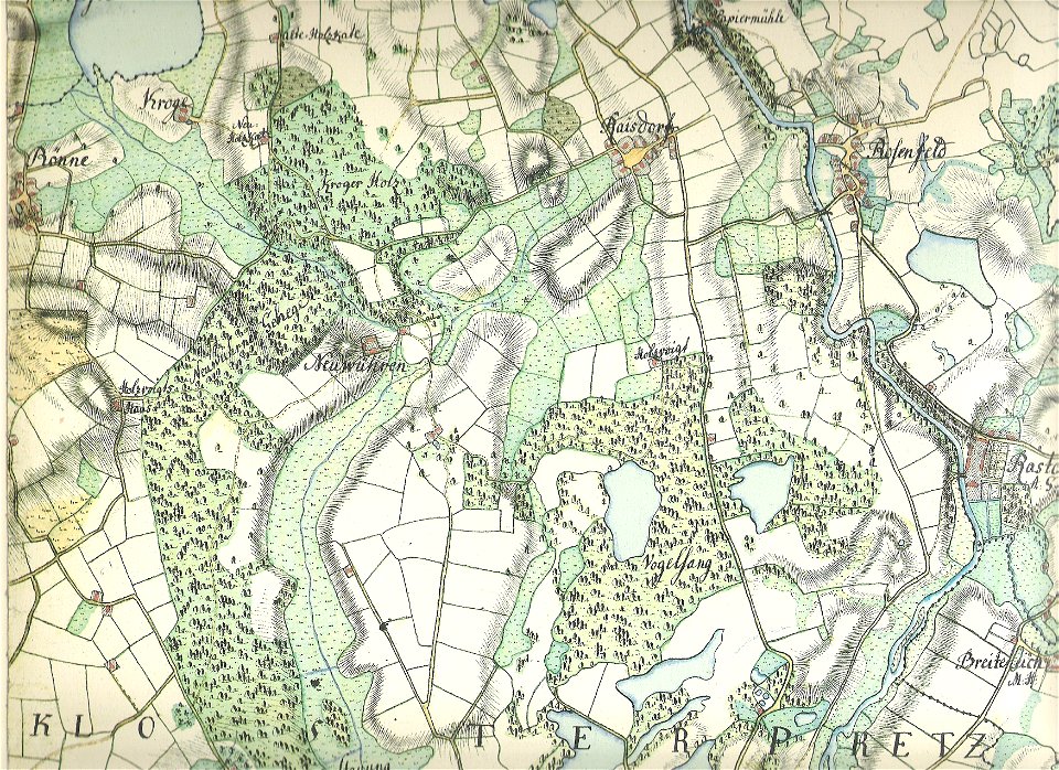
18th-century maps of schleswig-holstein
maps by gustav adolf von varendorf
18th-century maps of schleswig-holstein
maps by gustav adolf von varendorf
18th-century maps of schleswig-holstein
maps by gustav adolf von varendorf
18th-century maps of schleswig-holstein
maps by gustav adolf von varendorf
18th-century maps of slovenia
1758 maps
estate maps in the national library of wales
estate maps
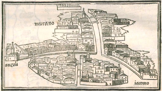
isolario di benedetto bordone (1547)
maps by benedetto bordon
isolario di benedetto bordone (1547)
maps by benedetto bordon
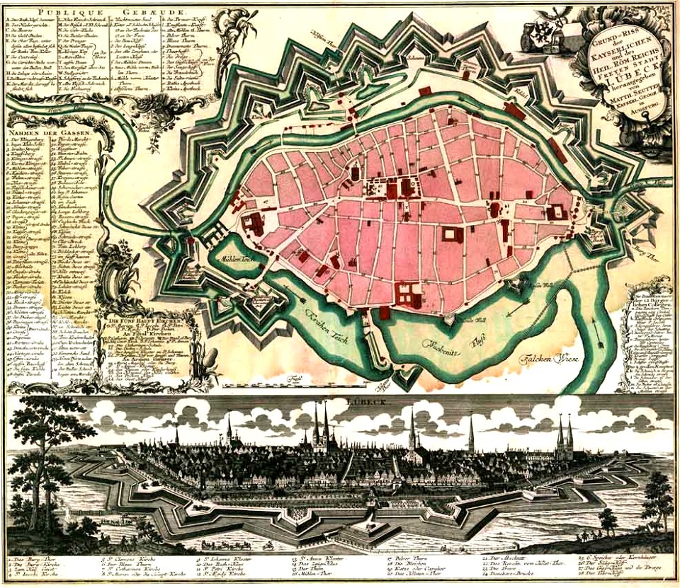
maps by matthäus seutter
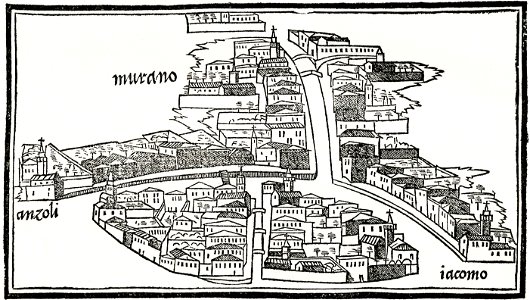
lübeck-altstadt
maps by frederick de wit
copper engraving
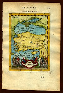
17th-century maps of the black sea
old maps of turkey
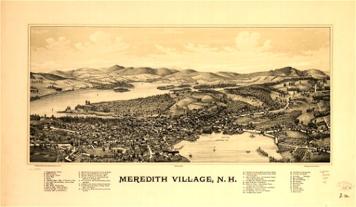
new hampshire
meredith
new hampshire
meredith
18th-century maps of schleswig-holstein
maps by gustav adolf von varendorf
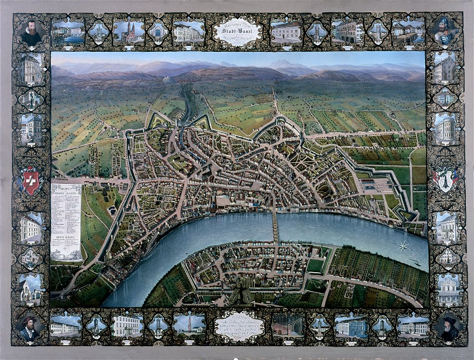
historisches museum basel
maps of basel
maps in the library of congress
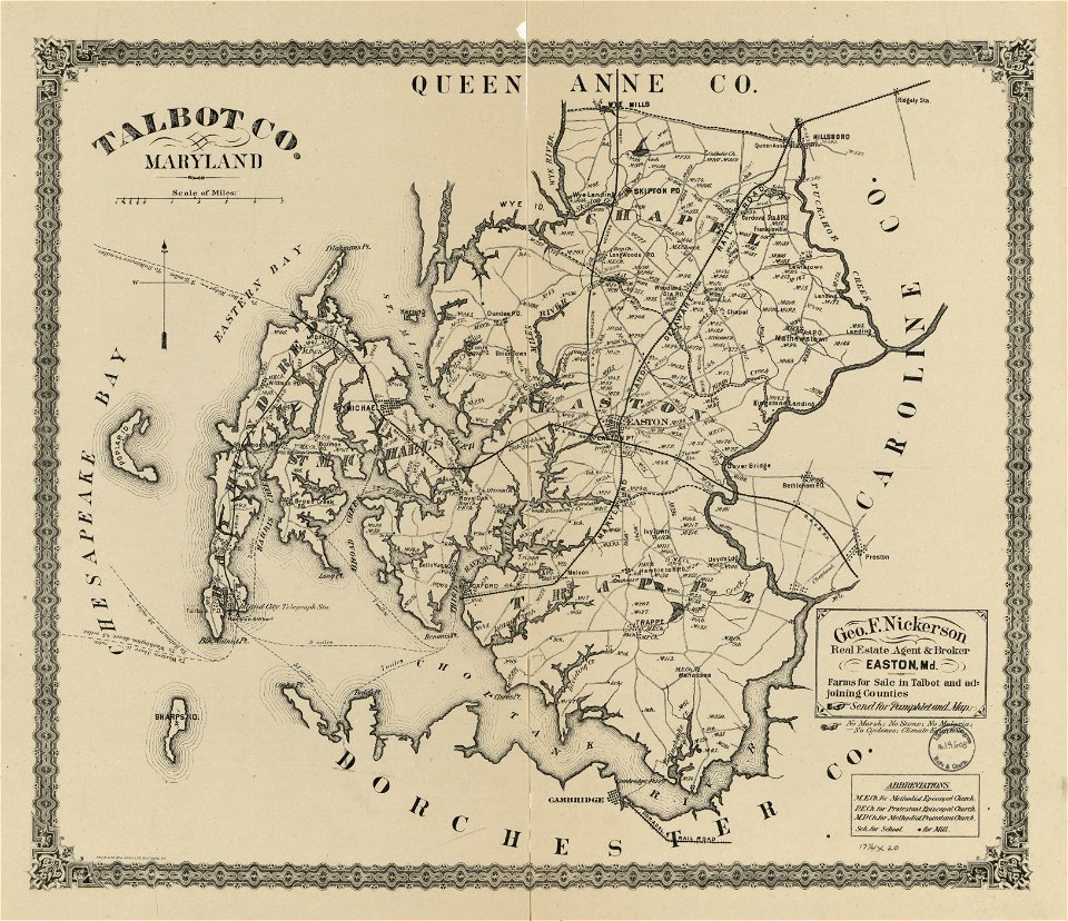
old maps of maryland
maps in the library of congress
old maps of maryland
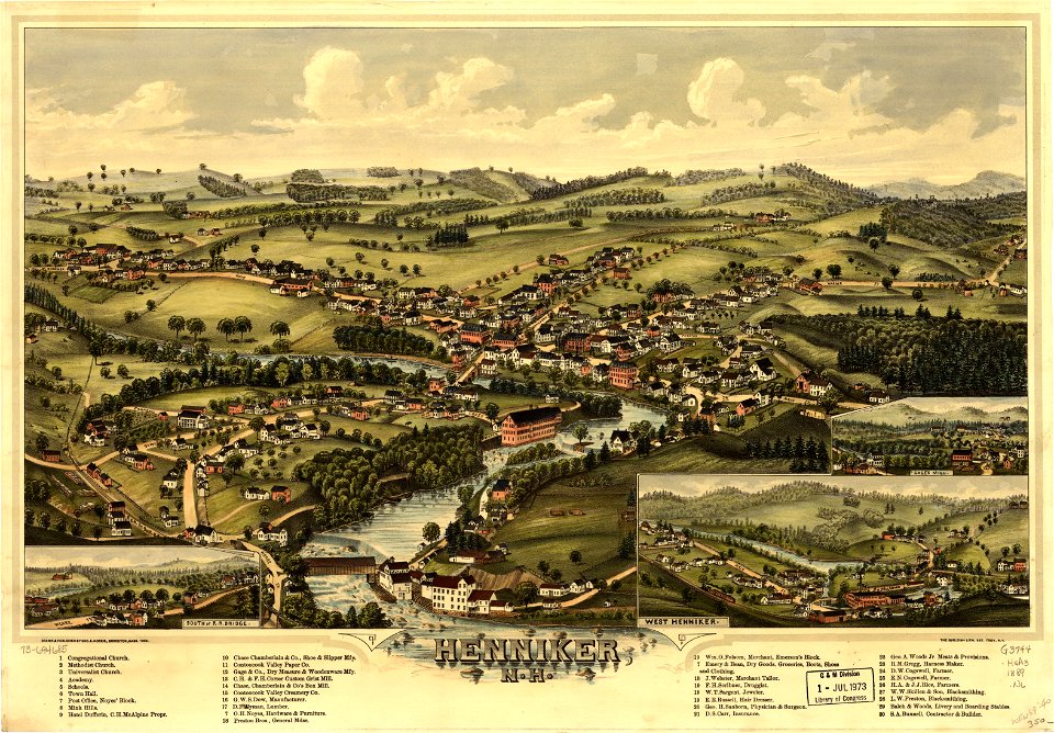
new hampshire
henniker
new hampshire
henniker
maps in the library of congress
o. h. bailey
maps in the library of congress
o. h. bailey
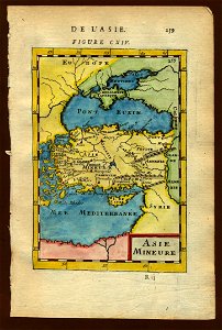
17th-century maps of the black sea
old maps of turkey
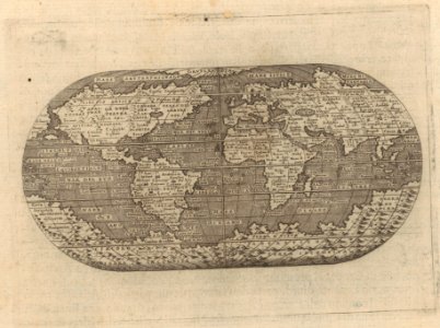
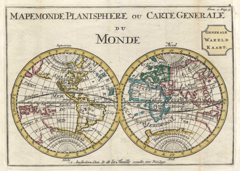
old maps of earth's hemispheres
double hemisphere world maps
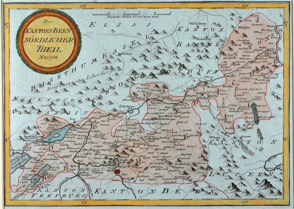
historical images of solothurn
old maps of switzerland
pieter van der keere
ships on maps
giovanni marco pitteri
italian-language maps
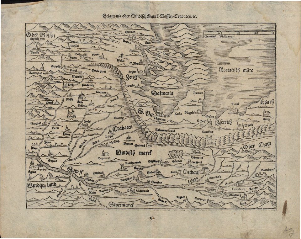
16th-century woodcuts
old maps of croatia
german-language maps showing history of europe
maps by sebastian münster
david rumsey historical map collection
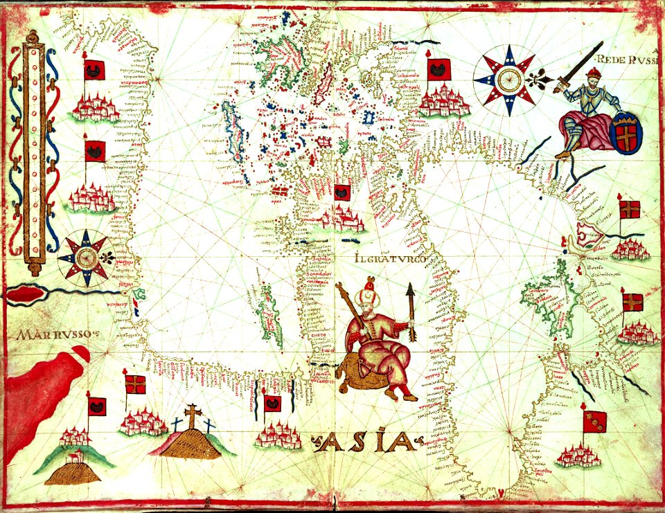
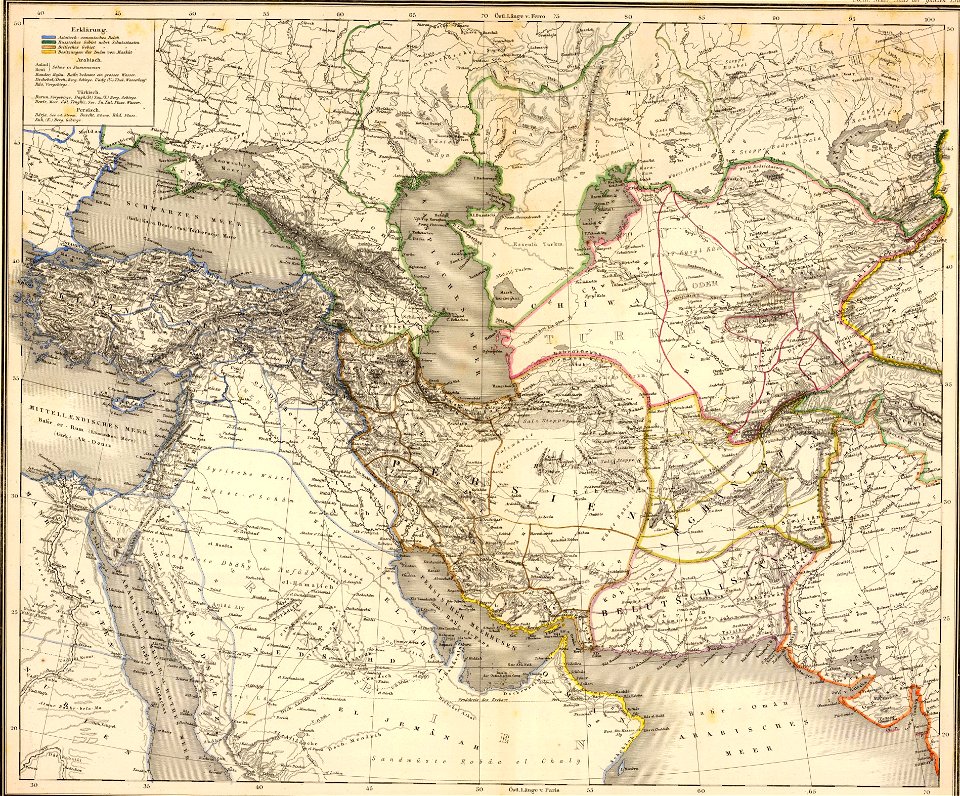
old maps of asia
german-language maps showing history of europe
maps by sebastian münster
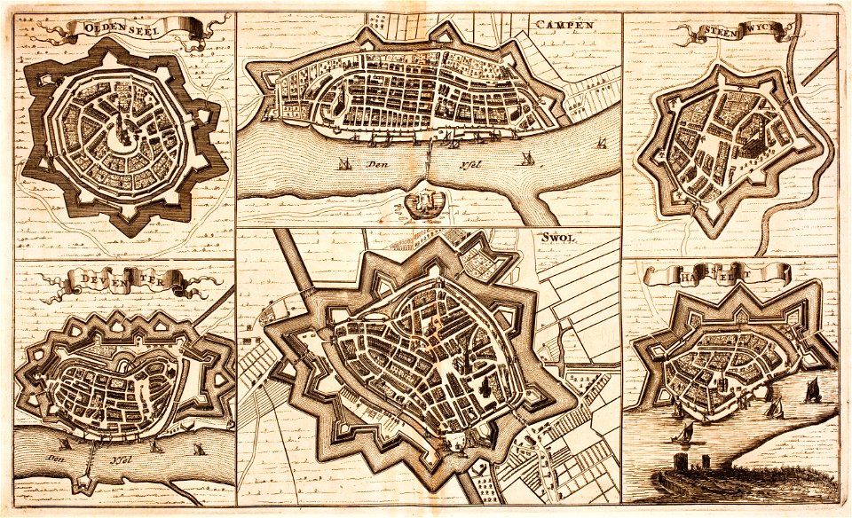
fortifications in the netherlands
netherlands
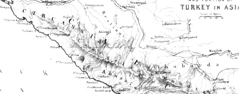
pictorial history of the russian war 1854-5-6 by george dodd
maps of circassia
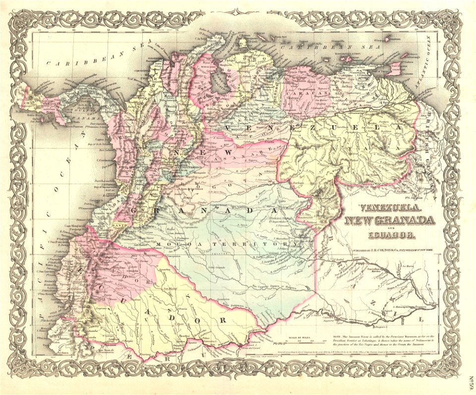
old maps of the history of venezuela
1855 maps
old maps of île-de-france
1855 in paris
david rumsey historical map collection
jr
atlantis magni tomus secundus (biblioteca comunale di trento)
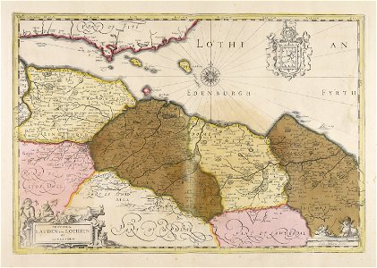
old maps of lothian
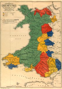
maps in the national library of wales
old maps of whole wales (alone)
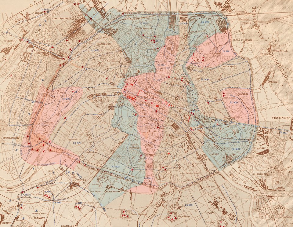
maps of paris in the 1870s
1871 in paris
maps made in the 17th century
gerard valck
volume 7 of le tour du monde
1860s maps of palestine
description of kingdom of georgia
its habits and canons
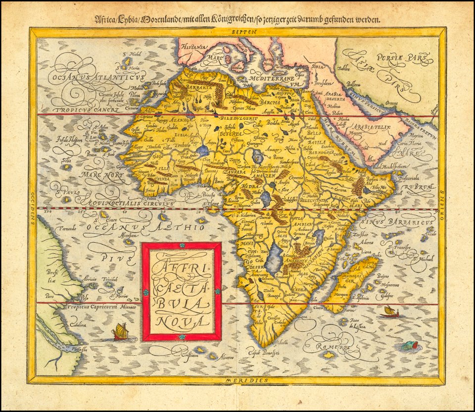
maps by sebastian münster
1580s maps of africa
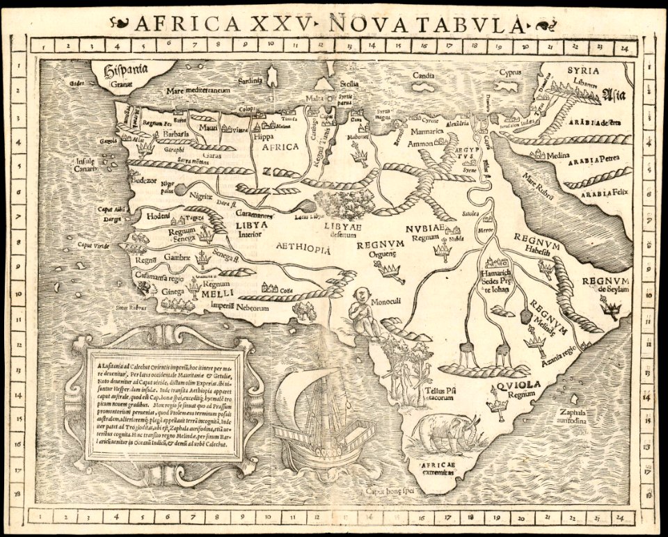
maps by sebastian münster
1550s maps of africa
1670s maps of africa
maps by john speed
maps in the library of congress
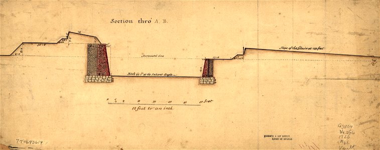
1766 maps
maps in the library of congress
1760 maps
maps in the library of congress
1760 maps
1701 - 1800 of 1,095,966
Next page
/ 10960